Using Political Maps
List price: $12.99
Available: 4
Quantity:
Description
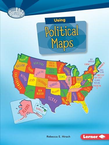
Ever wonder what the capital of Alaska is? Or how many states share a border with New York? Political maps show state and national boundaries. They include major cities and places created by people. But how do you use political maps? And what map features help you answer geographical questions? Read on to become a map genius!
Info
ISBN: 9781512412949
Published Date: August 1, 2016
Publisher: Lerner Publications
Language: English
Page Count: 40
Size: 9.00" l x 7.00" w x 0.50" h
Age Classification: Ages 6 to 8
Category
Children Nonfiction